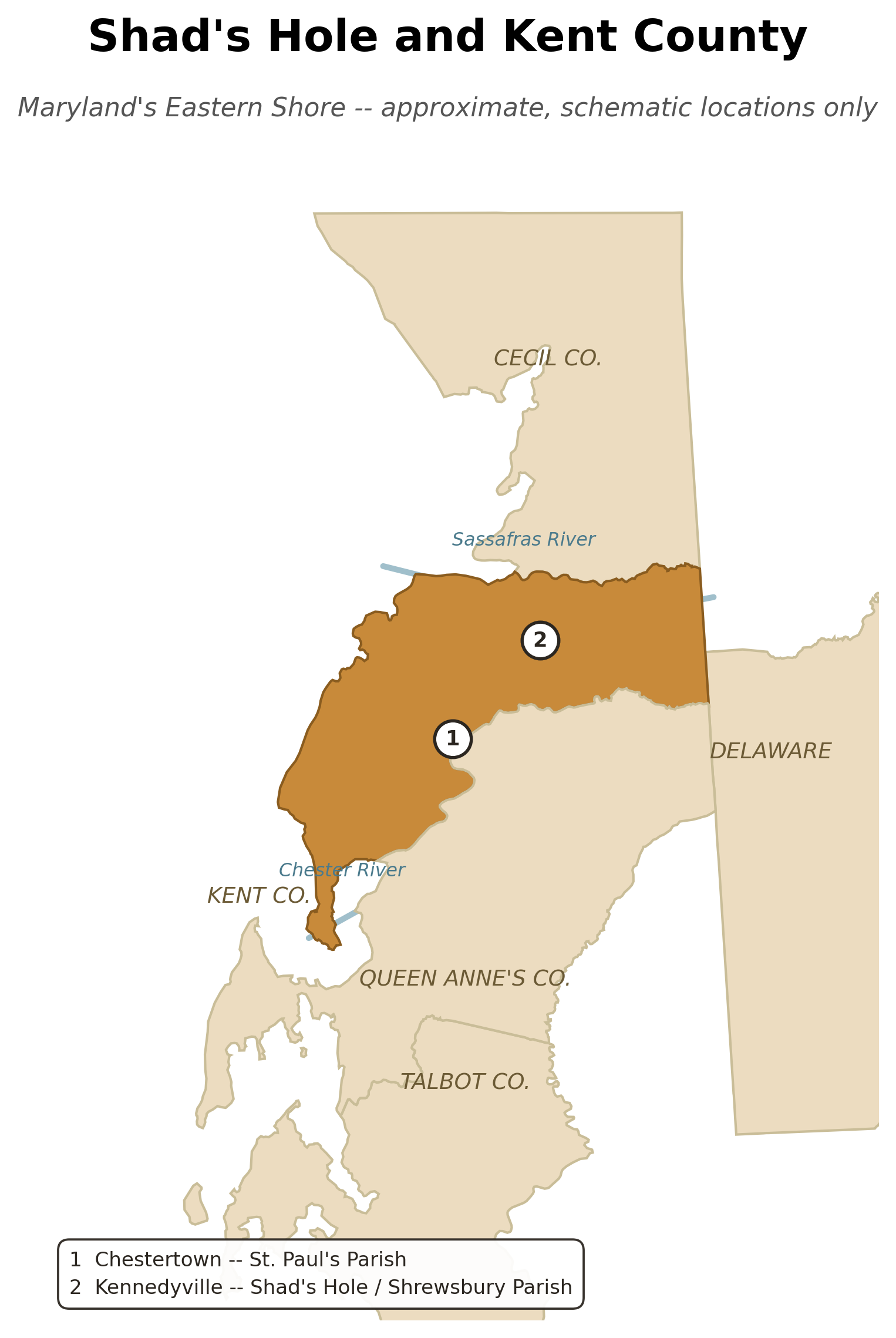
A local orientation map, showing Kent County, Maryland relative to its neighboring counties, and marking the two places at the center of Darby and Sarah's story: Chestertown (St. Paul's Parish, where they married in 1707) and Kennedyville (near Shad's Hole, in Shrewsbury Parish, where they settled by 1709).
How this map was made
Kent, Queen Anne's, and Talbot Counties, Maryland were all already organized in roughly their current form by the 1707-1709 period this map covers (Queen Anne's Co. was formed in 1706), so modern county lines are a reasonably close stand-in here -- unlike the wider regional map (see Where the Children Went), no colonial-vs-modern political grouping issue applies. The town/parish points and the Chester and Sassafras River lines are approximate and schematic, placed from general geographic knowledge rather than surveyed coordinates -- noted directly on the map.